Introduction
Lidar, radar, and sonar are three essential remote sensing technologies that have revolutionized how we perceive and interact with the world. They are widely used in various industries for detecting objects, measuring distances, and mapping environments, but each technology functions in unique ways. Lidar (Light Detection and Ranging) uses laser light, radar (Radio Detection and Ranging) employs radio waves, and sonar (Sound Navigation and Ranging) uses sound waves. Each has its own strengths, weaknesses, and areas of application, making them suitable for different tasks.
Lidar
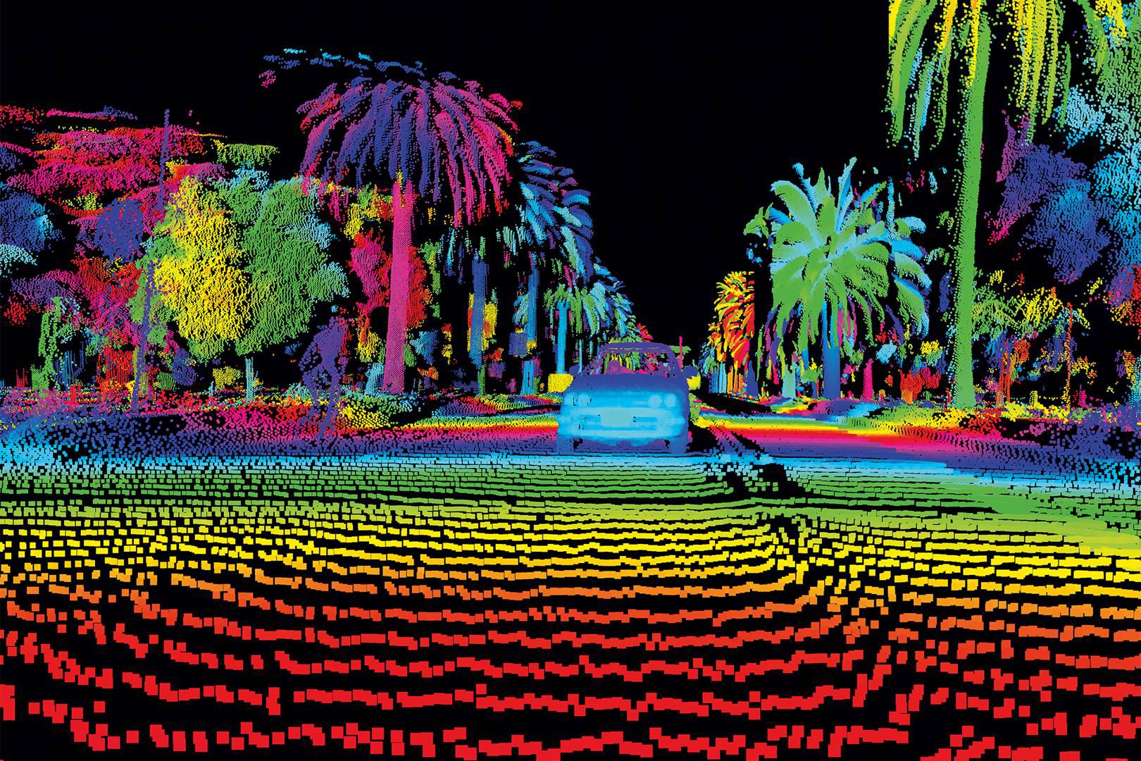
Lidar technology uses laser pulses to measure distances. By calculating the time it takes for a pulse to travel to an object and return, lidars can generate highly detailed 3D models of the object or environment.
Lidar Laser
Lidar systems rely on laser technology, typically in the form of infrared or ultraviolet light. When the laser beam hits an object, it reflects back to the sensor. The time of flight (TOF) of the laser pulse is measured to determine the distance between the sensor and the object. The use of light allows lidar to achieve extremely high precision in its measurements.
Lidar Point Clouds
The raw data generated by lidar comes in the form of point clouds. A point cloud consists of millions, sometimes billions, of data points that represent the surface of an object or area. These points are processed to create 3D models that can be analyzed to reveal structures, terrain, or features otherwise invisible to the naked eye. Lidar point clouds can be specially dense and highly detailed, which allows them to be used for accurate object detection.
High Resolution
One of lidar’s major advantages is its ability to capture high-resolution data. It can create highly detailed images of an environment, identifying even small changes in surface height or minute objects. This makes it ideal for applications such as topographic mapping, archaeology, and autonomous vehicle navigation, where precise information is essential.
Radar
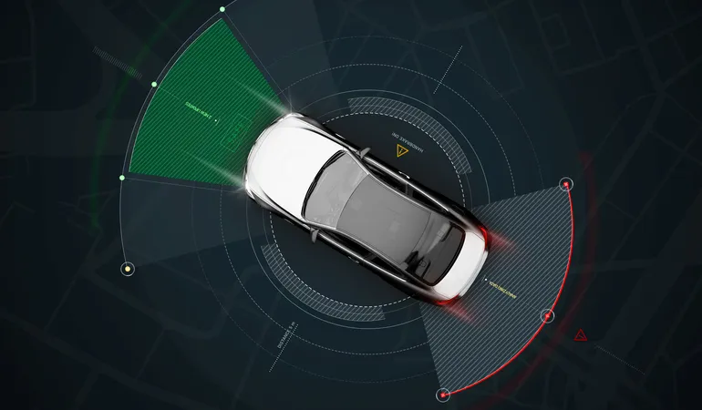
Radar uses radio waves to detect the position and velocity of objects. This technology is well known for its use in weather forecasting, aviation, and military applications.
Radar Radio
Radar systems emit radio waves, which bounce off objects and return to the sensor. The strength and time delay of the returned signal help radar determine the distance and position of the object. Radio waves are less affected by environmental conditions like fog or rain, which allows radar to perform reliably in various conditions.
Object velocity
One of radar’s key strengths is its ability to measure the velocity of moving objects. Doppler radar, for instance, can detect the change in frequency of the reflected radio waves, which allows it to determine how fast an object is moving toward or away from the radar system. This makes radar especially useful in aviation, traffic control, and weather monitoring.
Long Range
Radar can detect objects over long distances, sometimes even hundreds of kilometers away. This is why it is commonly used in air traffic control, maritime navigation, and even space exploration. Radar’s long range gives it an edge in scenarios where distant object detection is critical.
Sonar
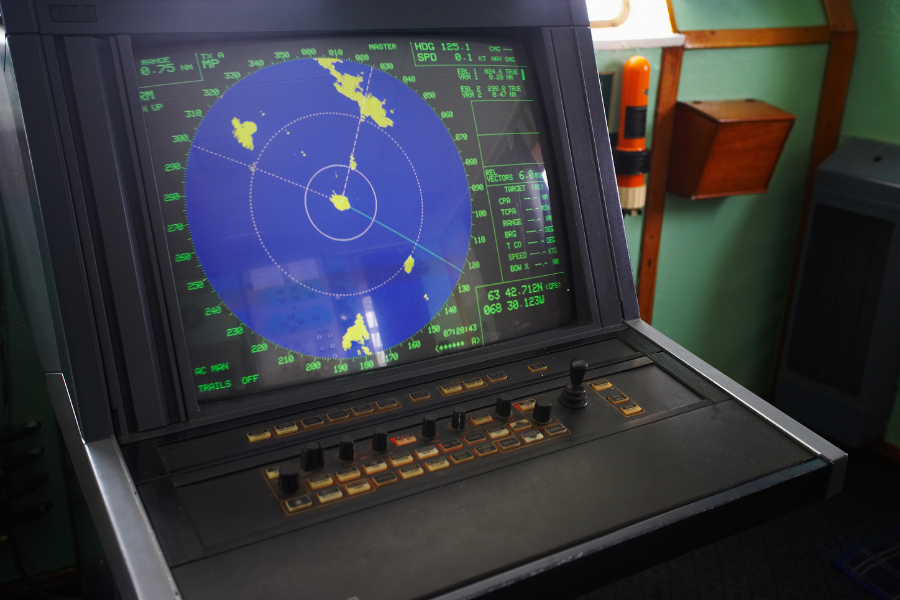
Sonar relies on sound waves to detect objects, primarily underwater. It has been widely adopted in marine exploration, submarine navigation, and fisheries management.
Sound Wave
Sonar systems emit sound waves that travel through water and reflect back upon hitting an object. The time taken for the echo to return helps determine the distance to the object. Since sound waves travel well in water, sonar is the go-to technology for underwater detection.
Level Accuracy
Sonar is highly accurate in underwater environments where other sensing technologies struggle. It is capable of providing precise measurements of depth, distance, and the size of underwater objects. However, its accuracy may reduce in turbulent or noisy water conditions.
Detailed Map
Sonar excels in creating detailed maps of underwater environments. With technologies like multibeam sonar, it can generate 3D models of the seafloor, revealing trenches, shipwrecks, or marine habitats with great accuracy. This makes it indispensable for oceanographic research and underwater archaeology.
Comparison of Lidar, Radar & Sonar over key characteristics
Object detection
Lidar: Lidar detects objects by bouncing laser pulses off surfaces, making it excellent for detecting fine details and small structures.
Radar: Radar is better suited for detecting larger objects at great distances, even in poor weather conditions.
Sonar: Sonar is specialized for detecting objects in water, making it the best choice for underwater exploration and marine applications.
Distance measurement
Lidar: Measures distance by calculating the time it takes for a laser pulse to return, allowing for precise surface mapping.
Radar: Uses the travel time of radio waves to measure distances, effective for both static and moving objects.
Sonar: Determines distance through sound wave reflections, which is ideal for underwater environments but less effective on land.
Resolution
Lidar: Offers high-resolution data, capable of detecting small features on the Earth's surface.
Radar: Provides moderate resolution, good for detecting large objects or moving targets but lacks the fine detail of lidar.
Sonar: Can produce detailed maps of underwater terrain, but its resolution is lower compared to lidar on land.
Range
Lidar: Effective at medium ranges, generally up to several kilometers, but limited by line of sight and environmental factors like fog or rain.
Radar: Has an extensive range, sometimes extending over hundreds of kilometers, making it ideal for long-distance detection.
Sonar: Limited to underwater applications, with range varying depending on the sound wave frequency used.
Environmental Conditions
Lidar: Susceptible to interference from weather conditions like rain, fog, or dust, which can scatter the laser pulses.
Radar: Performs well in various weather conditions, including rain, fog, and snow, due to the longer wavelengths of radio waves.
Sonar: Ideal for underwater environments, but performance can degrade in turbulent or noisy waters.
Wave Travel
Lidar: Uses light waves (laser), which travel quickly through the air but are hindered by opaque objects and environmental conditions.
Radar: Uses radio waves, which can penetrate through clouds and rain but can be reflected by large solid objects.
Sonar: Uses sound waves, which travel efficiently through water but are not effective in air or solid earth.
Cost
Lidar: Generally more expensive due to the high precision and complex data processing required.
Radar: Costs can vary but are often more affordable than lidar, especially for long-range applications.
Sonar: Prices can range significantly, from relatively affordable fish finders to expensive deep-sea exploration systems.
Sensor fusion
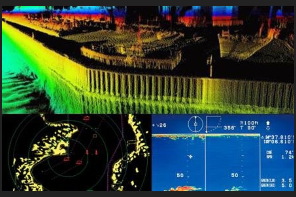
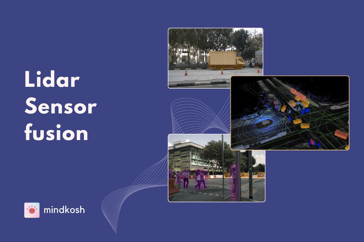
Lidars, Sonars and Radars offer different and sometimes complimentary advantages in sensing the environment. Thus, fusing the information provided by these sensors seems the best course of action to provide accurate detection capabilities while also ensuring appropriate redundancy.
Sensor fusion, when integrating data from Lidar, Radar, and Sonar, maximizes the strengths of each sensor while compensating for their individual weaknesses. Lidar delivers high-resolution 3D spatial data, making it excellent for accurately mapping environments and detecting objects. However, it's sensitive to weather conditions like fog or heavy rain. Radar, on the other hand, is robust in those conditions and excels at detecting velocity and range, but it doesn’t offer the same level of spatial detail as Lidar. Sonar is commonly used underwater, where neither Lidar nor Radar is effective. It provides excellent range measurements in aquatic environments but has lower resolution compared to Lidar.
Most systems that use these sensors also use cameras for capturing visual details through images. Compared to the above sensors, cameras provide unparalleled resolution and visual detail. However, images lack depth information, and cannot match the accuracy offered by Lidars, sonars or Radars in terms of distance or location measurement.
Fusing data from these sensors creates a more comprehensive picture. For example, in autonomous systems, Lidar can capture detailed object shapes, Radar can provide accurate speed and distance measurements, while cameras can provide rich, high resolution visual data that allows accurate object detection. When used in underwater scenarios, Sonar can provide superior underwater navigation. Together, the fused data fills in gaps that would be present if relying on just one sensor. This balance of strengths allows for more reliable perception systems in complex environments, whether on land, air, or underwater.
You can learn more about Lidar sensor fusion here.
Use-cases for Lidar, Radar and Sonar
Lidar
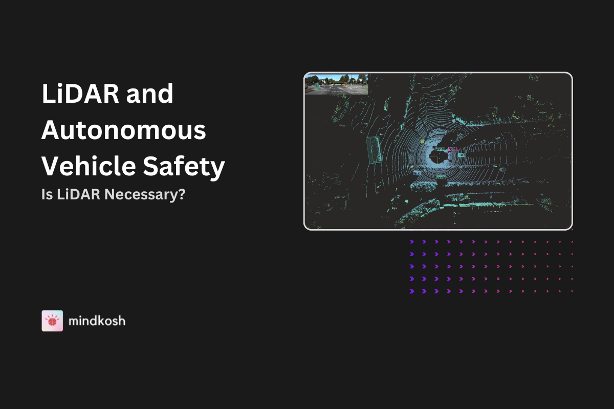
- Autonomous mobility - Lidars are widely used in autonomous vehicles for real-time mapping, localization and object detection. Lidar's ability to work in low light as well as adverse weather conditions, means it provides crucial complementary information to the information provided by cameras.
- Industrial automation - Lidars are used to automate tasks such as estimating volume, mapping underground mines etc.
- Archaeology - Because Lidars can penetrate foliage and accurately map objects in 3D, they are also being increasingly used for mapping ancient structures hidden beneath vegetation or terrain.
Radar
- Radars have traditionally been used in aviation and maritime industries for tracking objects and monitoring weather conditions.
- They are also used for traffic speed monitoring by law enforcement agencies.
- Autonomous vehicles - In the past few years, Radars have also been utilized in autonomous vehicles for detecting the speed of objects on the road. Because Radars can provide outlines of objects that are far away, they can also offer a low-cost alternative to Lidars.
Sonar
- Marine biology - Sonars are used for tracking marine life and mapping underwater ecosystems.
- Sonars have traditionally been used for Submarine navigation and underwater archaeology.
Conclusion
Lidar, radar, and sonar each have unique strengths, making them suitable for different applications. Lidar excels in high-resolution mapping and is widely used for surface scanning, while radar is favored for long-range detection and motion tracking, especially in challenging weather conditions. Sonar is indispensable for underwater exploration, providing detailed maps of the ocean floor. Understanding the differences between these technologies helps in selecting the most suitable system for specific use cases, whether on land, in the air, or underwater.


